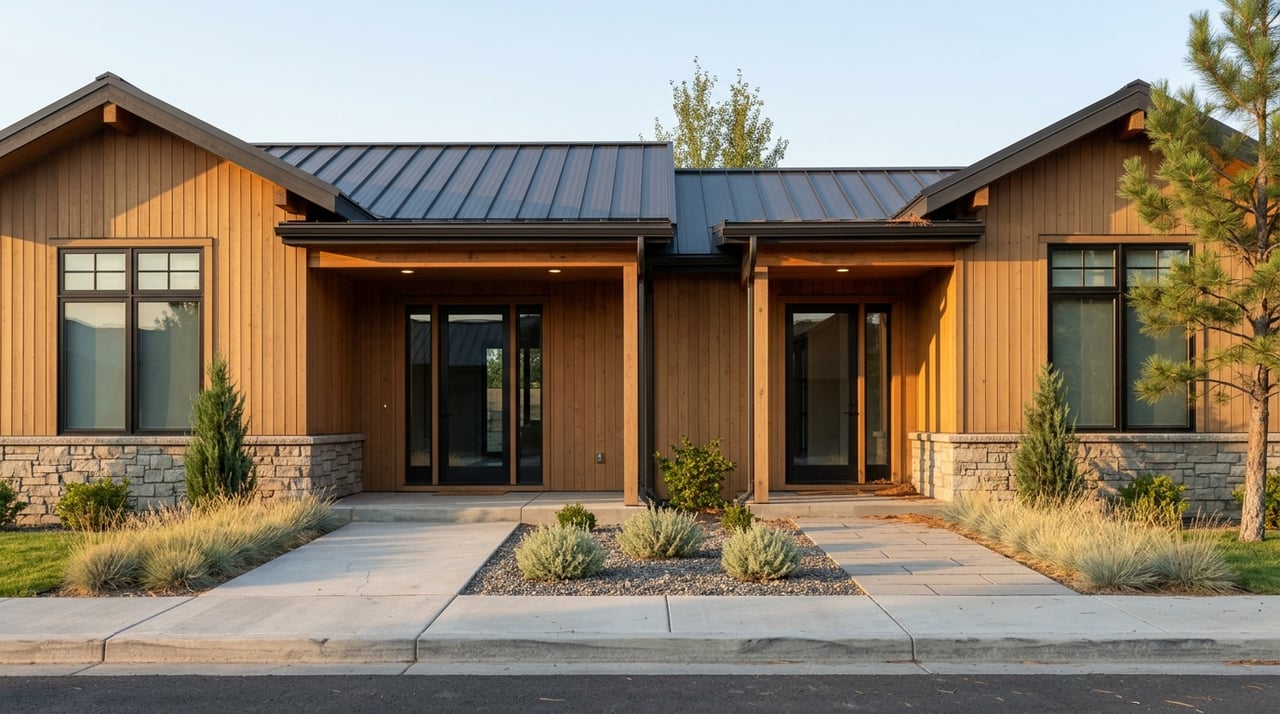
If you are shopping for riverfront or ranch property near Ennis, it is easy to fall in love with the views before you fully understand what you are buying. In this part of Madison County, value often comes down to rights, access, water, and restrictions just as much as acreage. A smart due diligence plan helps you protect both your lifestyle goals and your long-term investment. Let’s dive in.
Why due diligence matters near Ennis
Near Ennis, a property can look straightforward on a listing sheet while involving several separate interests behind the scenes. A ranch or river parcel may include deeded land, recorded easements, water rights, floodplain rules, public stream access considerations, and sometimes leased grazing ground.
That is why one of the most important mindset shifts is this: do not evaluate these properties by acres alone. Instead, look at what rights actually transfer with the sale, what land is deeded, and what use limitations may already be in place.
Start with the land interest
The first question to ask is not “How big is it?” It is “What exactly am I buying?” That matters because some ranch properties include deeded acreage plus leased grazing land, and those are not the same thing.
In Montana, state trust lands can be leased for agriculture and grazing. Federal grazing opportunities tied to BLM or Forest Service land are permit-based, which means they are not simply included in a standard deeded purchase. If a listing references grazing ground, you will want to confirm whether it is deeded, leased, or permit-based, and whether any transfer or agency approval is required.
Understand riverfront ownership and public use
Riverfront property has a strong lifestyle pull, but it also comes with rules that buyers need to understand early. In Montana, the public may use rivers and streams up to the ordinary high-water mark.
That means owning riverbank frontage does not automatically give you exclusive control over the full water edge. If privacy, fishing access, or how the river corridor is used matters to you, it is worth confirming where private improvements begin, how the bank is treated on the parcel, and whether there are any nearby public access points or shared access easements.
Verify legal access before you get attached
In rural Madison County, a driveway or road that looks usable is not always the same thing as legal access. County subdivision regulations make a clear distinction between legal access and physical access, and that difference matters.
Legal access means the parcel abuts a road right-of-way or easement that provides public access to the lot. Physical access refers to a road that meets county standards. If access crosses another property, the county requires evidence of the easement from a licensed title abstractor or title company.
This is one of the biggest reasons to slow down before making assumptions. A road may work in dry weather or appear to have been used for years, but if it is not properly recorded, publicly dedicated, or maintained to county standards, you may face added costs or limitations later.
Questions to ask about access
- Is the access route legally recorded?
- Does the parcel have public access through a right-of-way or easement?
- Is the road county maintained?
- If not, does it fall below county standards?
- Could improvements be required for year-round use?
- Is emergency access also required for the site?
Madison County regulations also allow emergency access to be required in some areas, especially where a single road could be blocked. That can be particularly relevant in rural and wildland interface settings.
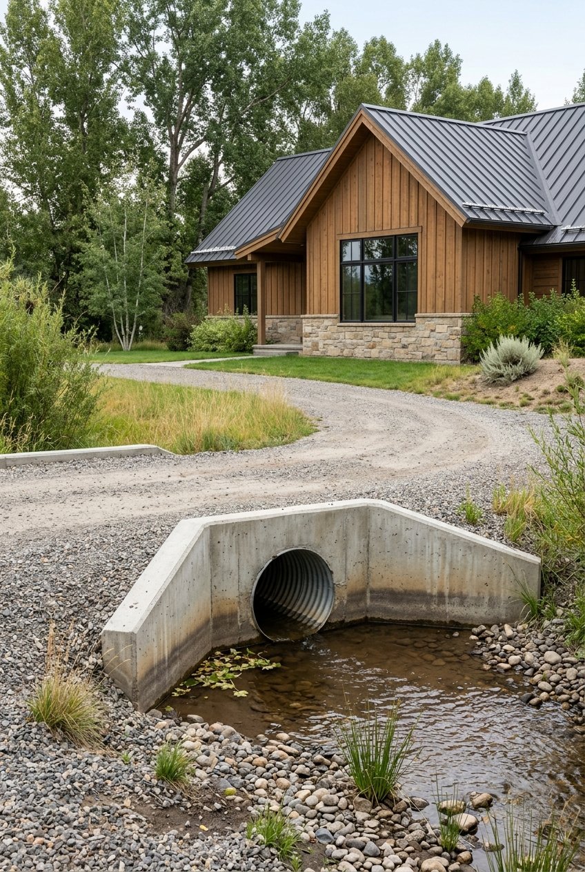
Check floodplain issues early
If you are buying near live water, floodplain review should move to the top of your checklist. Near Ennis, this is not a small detail. It can affect building plans, improvements, permitting, and even the timing of a project.
FEMA flood maps are the official source for flood hazard mapping, and Madison County also maintains floodplain information and mapping updates for the Madison-Ruby-Jefferson watersheds. Reviewing both helps give you a clearer picture because flood risk and mapping can change over time.
Madison County’s floodplain regulations are direct: if an activity requires a permit within the Regulated Flood Hazard Area, work cannot begin until the Floodplain Administrator issues that permit. Depending on the project, the application may require plans, engineering or architectural certification, and copies of other permits.
Why this matters for future plans
If you are buying a parcel with future improvements in mind, floodplain status can shape what is realistic. A floodplain issue may affect building locations, grading, infrastructure, and other work near the river corridor.
For subdivision and future-build buyers, Madison County’s standards add another layer. Current subdivision rules set minimum construction setbacks of 500 feet from the Madison River, 150 feet from the Big Hole, Jefferson, Ruby, Beaverhead, and South Boulder Rivers, and 100 feet from other waterways.
Know when stream permits may apply
Many buyers picture simple improvements after closing, but work near water can trigger a much larger review process. Bank stabilization, diversions, bridges, culverts, fill, irrigation headgates, and pumpsite maintenance can all require permitting.
Montana’s joint application process may apply in some cases. According to DNRC, one joint application can cover several approvals, including county floodplain permits, 310 permits, FWP permits, Corps permits, DEQ authorizations, and some DNRC licenses or easements.
If your dream property needs riverbank work or irrigation upgrades, this should be part of your due diligence before you buy, not after. It is much better to understand the likely approval path early than to assume an improvement will be simple.
Verify water rights, not just water presence
A ditch, headgate, pivot, or river frontage does not automatically tell you what legal water use comes with the property. In Montana, most legal water use depends on a recorded water right.
Your due diligence should start with the DNRC Water Rights Query System. DNRC says buyers should search both by owner name and by place of use. That step helps confirm what rights are actually on record and whether the property’s current use matches the recorded rights.
If a water right changes hands, DNRC says ownership needs to be addressed in the deed or another recorded conveyance and updated through the ownership process. If a future owner wants to change the point of diversion, place of use, purpose, or storage, a change application may also be required.
Water rights questions worth asking
- Which recorded water rights are included in the sale?
- Are those rights tied to this parcel’s place of use?
- Has ownership been properly updated in the deed or recorded documents?
- Does your intended use match the recorded right?
- Would any future change require an application?
Look beyond paperwork on irrigated ground
On irrigated property, the physical delivery system matters almost as much as the paper right. It is one thing to have a recorded right. It is another to confirm that the water can actually be delivered and maintained as intended.
Madison County subdivision regulations require ditch easements that allow placement and unobstructed maintenance of open ditches or below-ground pipelines for lands legally entitled to water. In practical terms, buyers should confirm the location and condition of ditches, pipelines, pumps, and headgates, along with the recorded easements that support them.
A clean due diligence review should connect the legal documents to what exists on the ground. If the system depends on infrastructure crossing another parcel, the supporting easement matters.
Clarify grazing rights and leased ground
For small-ranch and working-land buyers, grazing is often part of the value story. But the details matter. Some grazing ground may be deeded with the property, while other portions may depend on a lease or permit that does not transfer automatically.
DNRC manages state trust land through agricultural and grazing leases, and those assignments require agency approval. On federal land, a buyer who acquires qualifying base property must apply to transfer BLM grazing preference, while Forest Service permit transfers involve waiver procedures through the agency.
If a listing suggests expanded grazing opportunity beyond the deeded acreage, ask for a clear explanation of what is owned, what is leased, what is permitted, and what steps are required for transfer.
Review conservation easements carefully
A conservation easement can be a major value point or a major limitation, depending on your goals. These easements are legal agreements that can permanently limit uses of the land, and a new owner remains subject to the same restrictions.
Madison County defines a conservation easement as a voluntary restriction of land use, particularly residential development. On Montana ranches, conservation easements can limit subdivision, development, roads, mineral development, industrial use, billboards, and other future changes.
This does not automatically make a property less appealing. In many cases, it helps preserve open land character. But if you are buying with future building, subdivision, or expansion plans in mind, you need the exact recorded document reviewed before moving forward.
A practical due diligence checklist
Before you move from interest to offer, make sure you can answer these core questions:
- What land is deeded, and what land is leased or permit-based?
- Is access legal, recorded, and maintainable?
- Is any part of the property in a flood zone or regulated flood hazard area?
- Do future plans trigger county or stream-related permits?
- Which recorded water rights are included?
- How is irrigation delivered, and are the needed easements in place?
- Are grazing rights transferable, or do they require outside approval?
- Is there a conservation easement, and what uses does it restrict?
Why local guidance matters
Buying near Ennis is often about more than finding a beautiful piece of Montana. You are also evaluating how land use, water, access, and long-term enjoyment fit together.
That is especially true for riverfront, irrigated, and small-ranch properties, where the best opportunities often come with more moving parts. When you understand those moving parts early, you can make a stronger decision and avoid expensive surprises after closing.
If you are considering property near Ennis and want a practical, lifestyle-aware approach to the details, Tyler Garrison can help you evaluate the land, the rights, and the bigger picture before you make your move.
FAQs
What should buyers review first on riverfront property near Ennis?
- Start with the full land interest, including deeded acreage, access, public stream access rules, floodplain status, water rights, and any easements or restrictions tied to the property.
How does public stream access affect riverfront ownership in Montana?
- Montana allows public recreational use of rivers and streams up to the ordinary high-water mark, so owning river frontage does not automatically mean exclusive control of the full water edge.
What is the difference between legal access and physical access in Madison County?
- Legal access means the parcel has a road right-of-way or easement providing public access, while physical access refers to a road that meets county standards for use.
Why do floodplain rules matter for Ennis-area land buyers?
- Floodplain rules can affect where you build, what permits are needed, and whether certain improvements can move forward before county approval is issued.
How do buyers verify water rights on ranch or irrigated property near Ennis?
- Buyers should review the recorded water rights through DNRC, search by owner name and place of use, and confirm that ownership and intended use align with the recorded documents.
Can grazing rights transfer with a ranch property in Madison County?
- Some grazing use may be tied to deeded land, while other use may depend on state leases or federal permits that require agency approval or transfer steps.
What does a conservation easement mean for Montana land buyers?
- A conservation easement is a legal restriction that can permanently limit certain land uses, and those restrictions continue to apply to future owners.